Dobongsan Hiking Guide: Sinseondae and Obong Ridge
A practical guide to hiking Dobongsan in Seoul — the Sinseondae sunrise summit at 739.5m, Obong Five Peaks ridge traverse, and subway access from central Seoul.

Dobongsan sits in the eastern section of Bukhansan National Park, about 45 minutes by subway from central Seoul. At 739.5 meters, it is slightly lower than Bukhansan's Baegundae — but the terrain is sharper. The granite towers here are more exposed, the ridge sections more technical, and the crowds noticeably thinner on weekdays. Compared to Bukhansan National Park, which draws the bulk of Seoul's hikers to its western trails, Dobongsan rewards those willing to travel a few stations further north — and offers one of the most technical ridge hikes for hiking in Seoul.
The mountain is also Seoul's preferred sunrise destination. The Sinseondae summit faces directly east over the city, and the approach from Dobongsan Station takes roughly two and a half hours — timed right, you arrive at first light.
Quick Info
Quick summary for planning your Dobongsan hike at a glance.
- Location: Dobong-gu, Seoul / Uijeongbu, Gyeonggi Province, South Korea
- Highest Peak: Jaunbong (Sinseondae), 739.5m
- Park: Bukhansan National Park (Dobong Sector) — free entry
- Difficulty: Medium to Hard depending on route
- Best Time to Visit: April–June (spring), October–November (autumn)
- Entrance Fee: Free
- Nearest Station: Dobongsan Station (Line 1 / Line 7)
Trail Overview
| Trail | Distance | Time | Difficulty | Best For |
|---|---|---|---|---|
| Sinseondae Route | 6.3km RT | 2.5–3h | Medium | First-timers, sunrise hike |
| Obong Five Peaks | 8–10km | 3.5–4.5h | Medium–Hard | Ridge scrambling, panoramic views |
| Podae Ridge + Y-Valley | 9–10km | 5–6h | Hard | Experienced hikers only |
| Yongeocheon Valley | 3.4km | ~1h 40min | Easy–Medium | Quiet trail, stream walking |
Why Dobongsan Over Bukhansan
Seoul has two granite mountains in the north — Bukhansan and Dobongsan — and most visitors default to Bukhansan. That is a reasonable choice for a first hike. But Dobongsan has a few specific advantages worth knowing before you decide.
The summit at Sinseondae faces east toward the Han River and central Seoul. The sunrise view from here is cleaner and more open than what you get at Baegundae, which looks south. If that is your main goal, Dobongsan is the better target. The Obong Five Peaks route — five granite summits arranged in a dramatic row — has no equivalent in Bukhansan. And the approach from Dobongsan Station is faster and less crowded at the trailhead, even on autumn weekends.
The cultural layer is also deeper than most visitors expect. Three Buddhist temples founded in the Silla period sit within the park boundary: Cheongchuksa, Mangwolsa (established 639 CE), and Hoeryongsa, all active for over 1,300 years. The Dobong Seowon Confucian academy ruins, where Joseon reformer Jo Gwang-jo was commemorated from the 16th century, are located near the main trailhead.
For a less technical alternative in southern Seoul, see the Gwanaksan hiking guide.
Difficulty and Time Required
Sinseondae is the accessible entry point — it involves granite ridge walking near the top but nothing that requires hands-on scrambling beyond short sections. Most people in reasonable fitness complete the round trip in under 3 hours.
The Obong Five Peaks route is a significant step up. The five-peak traverse involves real exposure on both sides of the ridge, fixed chains and handrails on the steepest sections, and enough technical terrain that a fear of heights will make it genuinely unpleasant. It is not the same difficulty level as Bukhansan's fixed rope section — it is harder and more sustained.
Podae Ridge and Y-Valley is in a different category entirely. The Y-Valley section between the ridge and Sinseondae is Dobongsan's most dangerous passage — a narrow slot between two peaks requiring careful footwork with drops on both sides. On weekends and holidays, this section is one-way only (Podae Ridge to Sinseondae direction) to prevent accidents. Do not attempt it without proper hiking boots and dry conditions.
Trail Options
Sinseondae Route — Best for Sunrise and First-Timers
The most popular route on Dobongsan starts from Dobongsan Station (Line 1, Exit 1) and reaches the summit in roughly 2.5 hours. From the station exit, walk 15 minutes north to the Dobong Visitor Center, where maps and information are available in English. The trail then follows a well-maintained forested path before the terrain opens up onto granite ridge.
Lower section — Visitor Center to Ui Rock Shelter
The first 1.5 kilometers climb through deciduous forest at a steady gradient. The path is wide and well-marked. Water is available at Ui Rock Shelter, roughly 40 minutes from the start.
Mid section — Ui Rock Shelter to Ridge Junction
The path becomes rockier and the views begin to open. Granite outcrops appear with increasing frequency. This section takes another 45 minutes and requires moderate effort but no scrambling.
Upper section — Ridge Junction to Summit
The final 1.5 kilometers follow the granite ridge to Jaunbong (Sinseondae). The trail is well-defined but involves light scrambling and some exposure. The summit platform looks south over the full Seoul skyline. At sunrise, the view is one of the best in the city.
For a sunrise hike, depart Dobongsan Station by 4am. You will reach the summit around 6:45am with time to find a position before first light.
Best for: First-time visitors to Dobongsan, sunrise hikes, anyone wanting a solid mountain experience without committing to a full-day ridge route.
Obong Five Peaks Route — Best Ridge Experience
Obong means "five peaks" — a series of five granite summits arranged in a row above the treeline, connected by a ridge traverse that takes roughly 80 minutes from first peak to last. Each crossing involves some degree of scrambling and exposure. The handrails and chains installed on the steepest drops are secure, but you will use your hands throughout.
The approach from Dobongsan Station adds roughly 50 minutes to reach the first peak via Jangtung Ridge. From the fifth peak, the trail connects to Jaunbong summit before descending back to the Visitor Center. Total time is 3.5 to 4.5 hours.
The Obong ridge provides the most memorable views on Dobongsan — the five peaks form a natural screen of granite visible from the valley below, and from the ridge itself you see both the eastern city side and the forested interior of Bukhansan National Park simultaneously.
Best for: Experienced hikers comfortable with exposed terrain, anyone who has already done Sinseondae and wants more challenge.
Podae Ridge and Y-Valley — Expert Route
This is the most technically demanding trail in the Dobong sector of Bukhansan National Park. The approach begins at Mangwolsa Station (Line 1) and climbs steeply to Podae Ridge before descending through Y-Valley to Sinseondae. The Y-Valley section — a narrow passage between two cliff faces — is where most accidents occur on Dobongsan.
Allow 5 to 6 hours and do not attempt this route in wet conditions. Ranger presence is active on this section, and the one-way traffic rule on weekends and holidays is enforced. Crampons are required in winter.
Best for: Experienced hikers with technical mountain experience. Not recommended for first-time visitors to Dobongsan.
Best for Most Travelers
If you have half a day and want to experience Dobongsan without committing to a technical ridge route, the Sinseondae route is the clear choice. The 6.3-kilometer round trip from Dobongsan Station reaches the summit in roughly 2.5 hours, with light scrambling only near the top. The summit view over the Seoul skyline is one of the best in the city, and the trail is well-maintained throughout.
For hikers with more experience who want the mountain's signature feature, the Obong Five Peaks route adds roughly an hour and delivers the most memorable ridge traverse in the Dobong sector. The five-peak crossing involves real exposure and fixed chains, but the approach from the same station keeps logistics simple. Budget 3.5 to 4.5 hours total.
If you are visiting specifically for sunrise, Sinseondae is the target. Depart Dobongsan Station by 4am and allow 2.5 hours to reach the summit before first light.
Who Should Do This Hike
Sinseondae is accessible to anyone who is comfortable on uneven terrain and has proper footwear. The Obong route requires genuine ridge comfort and fitness for sustained scrambling. Y-Valley and Podae Ridge are for experienced hikers only.
The mountain is not suitable for casual footwear on anything above the lower forest section. The granite becomes dangerously slippery after rain, and the exposed sections on Obong and Y-Valley add meaningful fall risk in wet conditions. The fire prevention closure periods (March 1 to May 15, November 15 to December 15) restrict high-elevation access on certain trails — check conditions before visiting.
Tips Before You Go
- Bring at least 1.5 liters of water. There are no vendors inside the park once you pass the entrance area.
- Hiking boots with ankle support are strongly recommended, particularly for the Obong and Podae routes.
- Gloves help on the fixed chain sections of Obong in cool weather.
- In winter, crampons are essential — the granite ridge sections ice over from December onward.
- The Dobong Visitor Center at the main trailhead has English-language maps, restrooms, and staff who can advise on current trail conditions.
- Emergency number: 119. Dobong Visitor Center: 02-998-8831 (weekdays 9am–5pm).
- Seasonal trail closures may apply. Check the Korea National Park Service website before visiting.
How to Get There
From Dobongsan Station (Line 1 / Line 7 — main approach): Exit at Exit 1. Walk 15 minutes north along the main road to the Dobong Visitor Center and trailhead. Total travel time from central Seoul is approximately 45–50 minutes.
From Mangwolsa Station (Line 1 — Podae Ridge approach): Exit toward Mangwolsa Temple, approximately 20 minutes walk to the trailhead. Use this entry point only for the Podae Ridge route.
Use Naver Maps for real-time transit directions on the day — the Line 1/7 connection at Dobongsan Station is the most direct option for most visitors.
Final Thoughts
If you have done Bukhansan and want the next step up, Dobongsan is the natural progression. The Obong Five Peaks traverse is the most technically engaging day hike available within Seoul's transit network — genuine ridge walking with exposure and views that the more popular Bukhansan routes do not offer.
For a sunrise hike specifically, the Sinseondae route on a clear autumn morning is one of the better experiences available within a subway ride of central Seoul.
If you're planning multiple hikes in Seoul, start here: Best hikes in Seoul — all mountains by difficulty and subway access
Related Guides
Explore more hiking in Seoul:
- Best hikes in Seoul — full overview by difficulty and subway access
- Bukhansan Baegundae Hiking Guide — Seoul's highest summit, western sector
- Gwanaksan Hiking Guide — best option in southern Seoul
FAQ
How difficult is Dobongsan compared to Bukhansan? Dobongsan's main Sinseondae route is comparable to Bukhansan Baegundae in overall difficulty. However, the Obong Five Peaks and Podae Ridge routes are significantly more technical than anything on the standard Bukhansan trail — more exposed, longer, and requiring more scrambling.
What is the best route on Dobongsan for beginners? The Sinseondae route from Dobongsan Station is the most accessible — 6.3 kilometers round trip with a well-marked path and light scrambling only near the summit. Allow 3 hours.
Is Dobongsan good for a sunrise hike? Yes. Sinseondae is one of Seoul's most popular sunrise destinations. Depart Dobongsan Station by 4am to reach the summit before first light. The summit faces east over the city.
How do I get to Dobongsan by subway? Take Line 1 or Line 7 to Dobongsan Station, Exit 1. Walk 15 minutes north to the Dobong Visitor Center. Total travel time from central Seoul is approximately 45–50 minutes.
What is Y-Valley on Dobongsan? Y-Valley is a narrow passage between two cliff faces connecting Podae Ridge to Sinseondae. It is the most technically demanding and dangerous section on Dobongsan, subject to one-way traffic restrictions on weekends. Experienced hikers only.
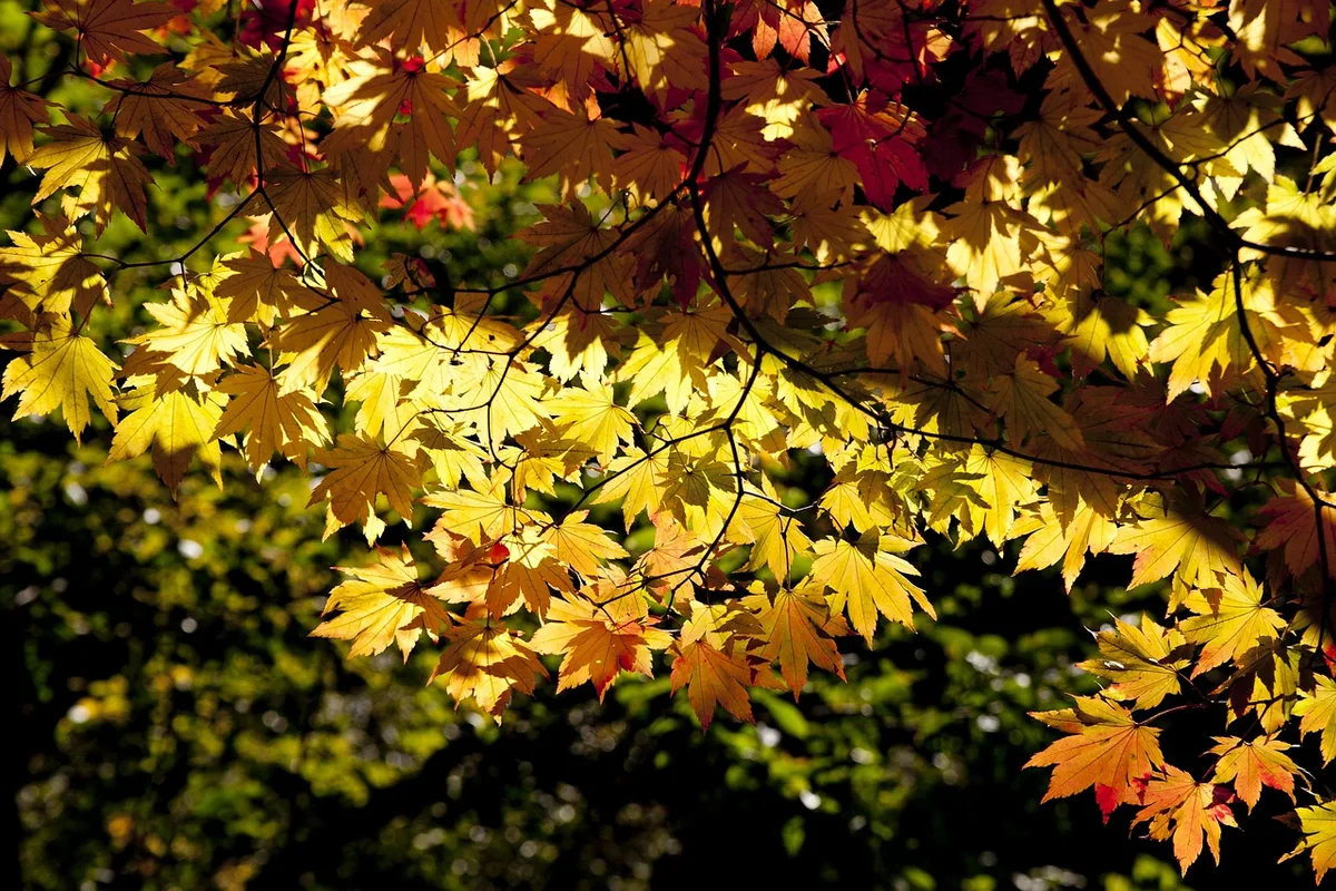
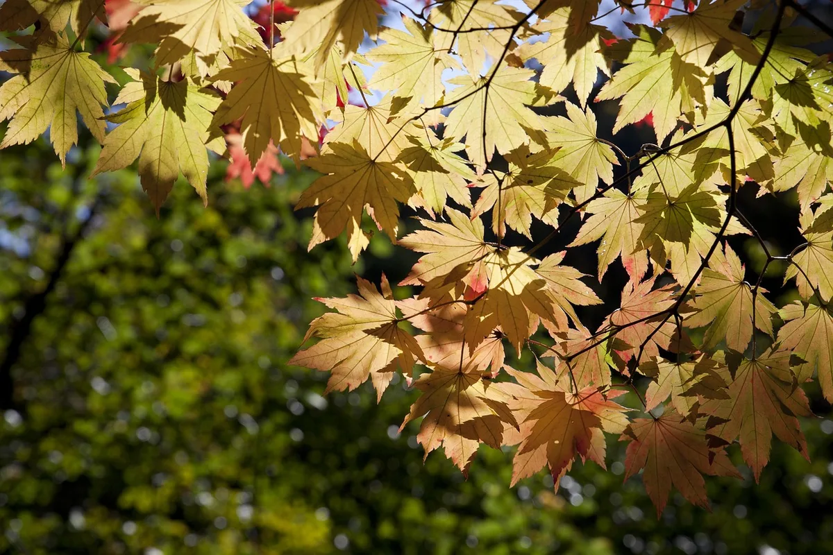
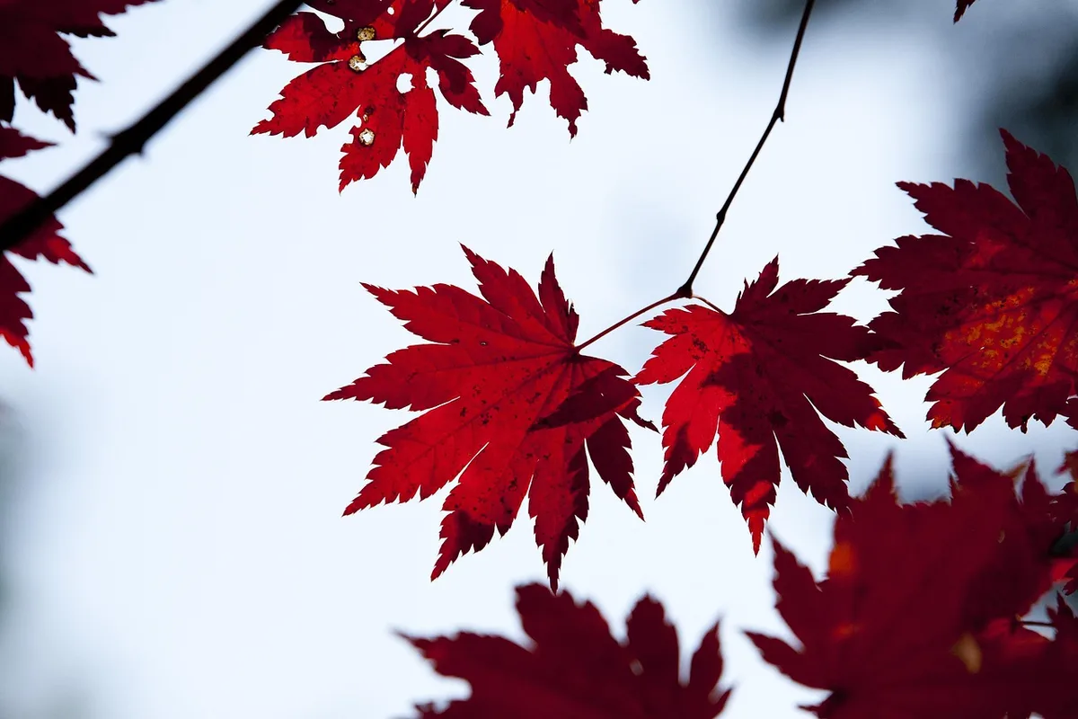
What is the best season to hike Dobongsan? October is peak season for autumn foliage — the granite faces contrast sharply with red and orange maple. April is excellent for spring azaleas. Winter hiking is possible with crampons. Avoid wet summer days when trail conditions deteriorate.
Continue exploring Korea's mountains
More routes, same honest field notes.
Related guides

Nearby hikes
EasyAchasan Hiking Guide: Han River Views and Sunrise
A practical guide to hiking Achasan in Seoul — the main summit route, the Achasan-Yongmasan ridge traverse, Han River sunrise views, and subway directions.

Nearby hikes
HardBukhansan Hiking Guide: Baegundae Summit in Seoul
A practical guide to hiking Bukhansan National Park in Seoul — Baegundae summit routes, Bukhansanseong Fortress, Insubong rock climbing, and subway access.

Nearby hikes
ModerateBulamsan Hiking Guide: Granite Ridge and Azaleas
A practical guide to hiking Bulamsan in northeast Seoul — the Sanggye route, Hwangangdae technical scramble, spring azaleas, and how to get there by subway.